 vesseltracker.com
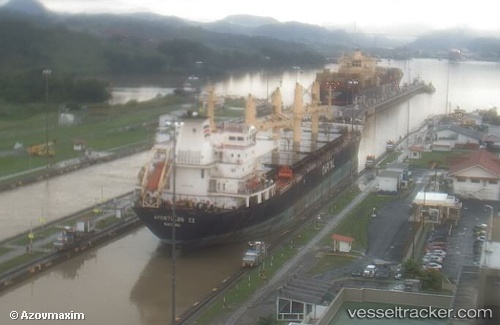
 PRINCE AMIN
Current Status
Where is the vessel?
PRINCE AMIN is currently in Near Naples, based on AIS data received less than 1h ago.
Latest AIS update:
Current position: 40.84167° N, 14.26500° E (Near Naples)
Average speed (last 7 days): Loading…
Average speed (last 30 days): Loading…
Vessel profile: PRINCE AMIN is a Bulk Carrier with dimensions 28m x 179m.
This page combines live AIS, route history, probable destination signals, nearby traffic, and port activity for practical vessel monitoring.
The current position of vessel PRINCE AMIN is 40.84167 lat / 14.26500 lng. Updated: 2026-04-23 05:44:17 UTCNearest reference points:
- Near Naples
- Near MERGELLINA
- Near Castellammare di Stabia
Currently sailing under the flag of Sierra leone ![]()
PRINCE AMIN built in 2003 year
Deadweight:
34656 tDetails:
Live Vessel PRINCE AMIN Analytics (details, animations, etc.)
Recent AIS points (UTC):
2026-04-23 01:07:57 UTC · 40.84318, 14.26627 · SOG 0.1 kn · COG 0°2026-04-23 03:29:19 UTC · 40.84315, 14.26628 · SOG 0 kn · COG 0°
2026-04-23 04:40:24 UTC · 40.84317, 14.26627 · SOG 0 kn · COG -1°
2026-04-23 05:44:17 UTC · 40.84167, 14.26500 · SOG 0 kn · COG -1°