 vesseltracker.com
 PORTO KAGIO
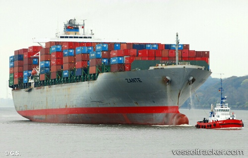
Current Status
Where is the vessel?
PORTO KAGIO is currently in Near HOOKSIEL, based on AIS data received less than 1h ago.
Latest AIS update:
Current position: 53.59148° N, 8.15402° E (Near HOOKSIEL)
Average speed (last 7 days): Loading…
Average speed (last 30 days): Loading…
Vessel profile: PORTO KAGIO is a Container Ship with dimensions 40m x 279m.
This page combines live AIS, route history, probable destination signals, nearby traffic, and port activity for practical vessel monitoring.
The current position of vessel PORTO KAGIO is 53.59148 lat / 8.15402 lng. Updated: 2026-03-30 23:53:32 UTCNearest reference points:
- Near Wilhelmshaven
- Near HOOKSIEL
- Near Horumersiel
Currently sailing under the flag of Liberia ![]()
PORTO KAGIO built in 2002 year
Deadweight:
67164 tDetails:
Live Vessel PORTO KAGIO Analytics (details, animations, etc.)
Recent AIS points (UTC):
2026-03-30 18:02:30 UTC · 53.59146, 8.15398 · SOG 0 kn · COG 345°2026-03-30 20:02:09 UTC · 53.59160, 8.15388 · SOG 0 kn · COG 345°
2026-03-30 21:59:10 UTC · 53.59157, 8.15375 · SOG 0 kn · COG 345°
2026-03-30 23:53:32 UTC · 53.59148, 8.15402 · SOG 0 kn · COG 344°