 vesseltracker.com
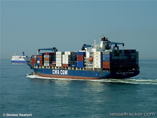
 CC FORT ST GEORGES
Current Status
Where is the vessel?
CC FORT ST GEORGES is currently in Near Mombasa, based on AIS data received less than 1h ago.
Latest AIS update:
Current position: 4.04887° S, 39.61880° E (Near Mombasa)
Average speed (last 7 days): Loading…
Average speed (last 30 days): Loading…
Vessel profile: CC FORT ST GEORGES is a Container Ship with dimensions m x m.
This page combines live AIS, route history, probable destination signals, nearby traffic, and port activity for practical vessel monitoring.
The current position of vessel CC FORT ST GEORGES is -4.04887 lat / 39.6188 lng. Updated: 2026-04-19 14:20:12 UTCNearest reference points:
- Near Mombasa
- 11 nm SE of Mombasa
Details:
Live Vessel CC FORT ST GEORGES Analytics (details, animations, etc.)
Recent AIS points (UTC):
2026-04-19 10:25:55 UTC · -4.04889, 39.61880 · SOG 0 kn · COG 342°2026-04-19 11:20:02 UTC · -4.04891, 39.61880 · SOG 0 kn · COG 343°
2026-04-19 13:32:06 UTC · -4.04888, 39.61880 · SOG 0 kn · COG 343°
2026-04-19 14:20:12 UTC · -4.04887, 39.61880 · SOG 0 kn · COG 343°