 vesseltracker.com
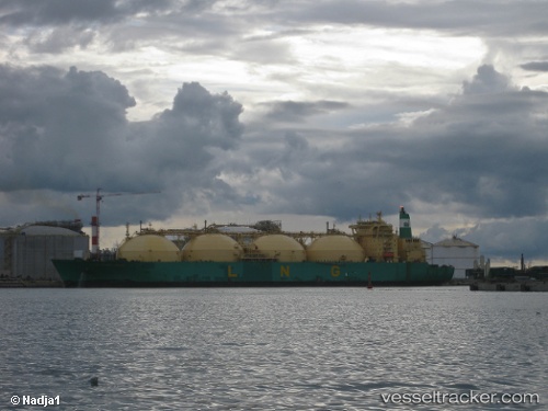
Lng River Niger
Current StatusWhere is the vessel?
Lng River Niger is currently in 172 nm W of NASSIT, based on AIS data received less than 1h ago.
Latest AIS update:
Current position: 7.64449° N, 16.00462° W (172 nm W of NASSIT)
Average speed (last 7 days): Loading…
Average speed (last 30 days): Loading…
Vessel profile: Lng River Niger is a Lng Tanker with dimensions 48m x 288m.
This page combines live AIS, route history, probable destination signals, nearby traffic, and port activity for practical vessel monitoring.
The current position of vessel Lng River Niger is 7.64449 lat / -16.00462 lng. Updated: 2026-04-22 11:49:00 UTCNearest reference points:
- 79 nm SW of Conakry
- 97 nm SW of Port de Boké
- 49 nm S of Port de Boké
Details:
Live Vessel Lng River Niger Analytics (details, animations, etc.)
Recent AIS points (UTC):
2026-04-22 07:56:30 UTC · 6.91254, -15.23998 · SOG 16.3 kn · COG 315°2026-04-22 10:16:29 UTC · 7.35041, -15.70696 · SOG 16.4 kn · COG 314°
2026-04-22 10:24:30 UTC · 7.37462, -15.73415 · SOG 16 kn · COG 314°
2026-04-22 11:49:00 UTC · 7.64449, -16.00462 · SOG 16.3 kn · COG 318°