 vesseltracker.com
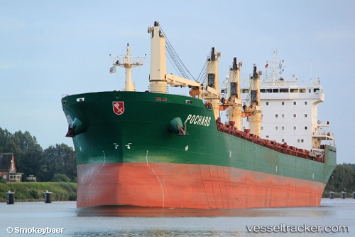
 JESSICA B
Current Status
Where is the vessel?
JESSICA B is currently in Near Gebze, based on AIS data received about 2h ago.
Latest AIS update:
Current position: 40.68236° N, 29.31782° E (Near Gebze)
Average speed (last 7 days): Loading…
Average speed (last 30 days): Loading…
Vessel profile: JESSICA B is a Bulk Carrier with dimensions 199m x 24m.
This page combines live AIS, route history, probable destination signals, nearby traffic, and port activity for practical vessel monitoring.
The current position of vessel JESSICA B is 40.68236 lat / 29.31782 lng. Updated: 2026-03-28 13:27:35 UTCNearest reference points:
- Near Tuzla Free Zone
- Near TUZLA
- Near YALOVA
Currently sailing under the flag of Marshall Islands ![]()
JESSICA B built in 2003 year
Deadweight:
37384 tDetails:
Live Vessel JESSICA B Analytics (details, animations, etc.)
Recent AIS points (UTC):
2026-03-28 07:21:36 UTC · 40.68224, 29.31763 · SOG 0 kn · COG 269°2026-03-28 10:24:35 UTC · 40.68212, 29.31750 · SOG 0 kn · COG 272°
2026-03-28 11:48:35 UTC · 40.68268, 29.31749 · SOG 0 kn · COG 250°
2026-03-28 13:27:35 UTC · 40.68236, 29.31782 · SOG 0 kn · COG 256°