 vesseltracker.com
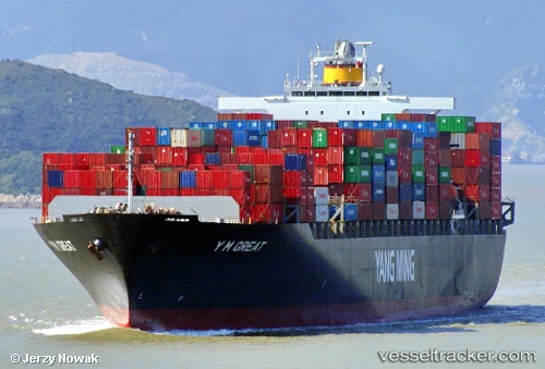
 TINA I
Current Status
Where is the vessel?
TINA I is currently in 115 nm SW of Champerico, based on AIS data received about 2h ago.
Latest AIS update:
Current position: 12.57290° N, 92.79110° W (115 nm SW of Champerico)
Average speed (last 7 days): Loading…
Average speed (last 30 days): Loading…
Vessel profile: TINA I is a Container Ship with dimensions 279m x 40m.
This page combines live AIS, route history, probable destination signals, nearby traffic, and port activity for practical vessel monitoring.
The current position of vessel TINA I is 12.57290 lat / -92.79110 lng. Updated: 2026-04-07 23:29:50 UTCNearest reference points:
- Near San Jose
Currently sailing under the flag of Liberia ![]()
TINA I built in 2004 year
Deadweight:
67270 tDetails:
Live Vessel TINA I Analytics (details, animations, etc.)
Recent AIS points (UTC):
2026-04-07 17:38:10 UTC · 13.16367, -93.84525 · SOG 12.1 kn · COG 117°2026-04-07 19:23:27 UTC · 12.99302, -93.52688 · SOG 12.5 kn · COG 121°
2026-04-07 21:25:30 UTC · 12.77783, -93.16487 · SOG 12.1 kn · COG 121°
2026-04-07 23:29:50 UTC · 12.57290, -92.79110 · SOG 12.5 kn · COG 117°