 vesseltracker.com
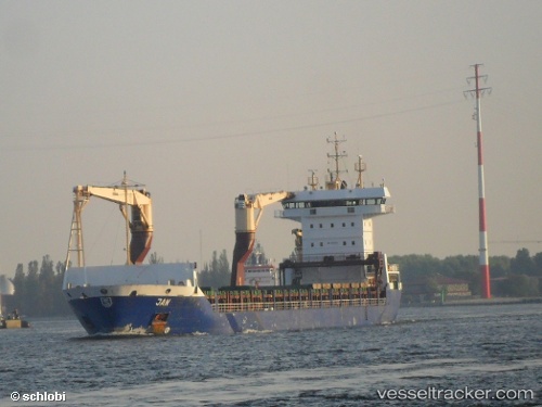
 BERING
Current Status
Where is the vessel?
BERING is currently in Near Sabetta, based on AIS data received about 2h ago.
Latest AIS update:
Current position: 71.28056° N, 72.06860° E (Near Sabetta)
Average speed (last 7 days): Loading…
Average speed (last 30 days): Loading…
Vessel profile: BERING is a Container Ship with dimensions 145m x 19m.
This page combines live AIS, route history, probable destination signals, nearby traffic, and port activity for practical vessel monitoring.
The current position of vessel BERING is 71.28056 lat / 72.06860 lng. Updated: 2026-04-16 19:14:45 UTCNearest reference points:
- Near Sabetta
- 17 nm NW of Arctic SPG 2
- 87 nm S of Arctic SPG 2
Currently sailing under the flag of Russia ![]()
BERING built in 2003 year
Deadweight:
10649 tDetails:
Live Vessel BERING Analytics (details, animations, etc.)
Recent AIS points (UTC):
2026-04-16 05:20:41 UTC · 71.28054, 72.06859 · SOG 0 kn · COG 115°2026-04-16 05:20:41 UTC · 71.28054, 72.06859 · SOG 0 kn · COG 115°
2026-04-16 05:20:41 UTC · 71.28054, 72.06859 · SOG 0 kn · COG 115°
2026-04-16 19:14:45 UTC · 71.28056, 72.06860 · SOG 0 kn · COG 114°