 vesseltracker.com
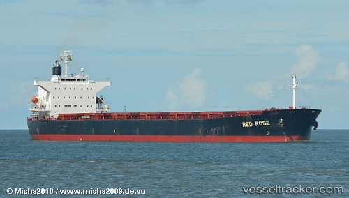
 Red Rose
Current Status
Where is the vessel?
Red Rose is currently in Near ZHUHAI, based on AIS data received about 2h ago.
Latest AIS update:
Current position: 21.95870° N, 113.18568° E (Near ZHUHAI)
Average speed (last 7 days): Loading…
Average speed (last 30 days): Loading…
Vessel profile: Red Rose is a Bulk Carrier with dimensions 225m x 225m.
This page combines live AIS, route history, probable destination signals, nearby traffic, and port activity for practical vessel monitoring.
The current position of vessel Red Rose is 21.95870 lat / 113.18568 lng. Updated: 2026-04-15 05:23:27 UTCNearest reference points:
- Near ZHUHAI
- Near Gaolan
- Near Civet / Guandong
Currently sailing under the flag of Panama ![]()
Red Rose built in 2003 year
Deadweight:
76629 tDetails:
Live Vessel Red Rose Analytics (details, animations, etc.)
Recent AIS points (UTC):
2026-04-14 22:11:29 UTC · 21.95867, 113.18571 · SOG 0 kn · COG 332°2026-04-14 23:32:12 UTC · 21.95868, 113.18568 · SOG 0 kn · COG 332°
2026-04-15 03:23:16 UTC · 21.95867, 113.18568 · SOG 0.1 kn · COG 332°
2026-04-15 05:23:27 UTC · 21.95870, 113.18568 · SOG 0 kn · COG 332°