 vesseltracker.com
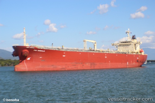
 DANUBE
Current Status
Where is the vessel?
DANUBE is currently in 52 nm S of JASK, based on AIS data received about 10d ago.
Latest AIS update:
Current position: 24.80125° N, 57.95596° E (52 nm S of JASK)
Average speed (last 7 days): Loading…
Average speed (last 30 days): Loading…
Vessel profile: DANUBE is a Oil Products Tanker with dimensions m x m.
This page combines live AIS, route history, probable destination signals, nearby traffic, and port activity for practical vessel monitoring.
The current position of vessel DANUBE is 24.80125 lat / 57.95596 lng. Updated: 2026-03-21 22:16:02 UTCNearest reference points:
- 58 nm S of JASK
- 42 nm SE of Offshore Fujairah
- 17 nm SE of JASK
Currently sailing under the flag of Guinea-Bissau ![]()
Details:
Live Vessel DANUBE Analytics (details, animations, etc.)
Recent AIS points (UTC):
2026-03-21 20:19:52 UTC · 24.82093, 57.62302 · SOG 9.6 kn · COG 90°2026-03-21 21:10:56 UTC · 24.81308, 57.76962 · SOG 9.6 kn · COG -1°
2026-03-21 22:16:02 UTC · 24.80125, 57.95596 · SOG 9.3 kn · COG -1°
2026-03-21 22:16:02 UTC · 24.80125, 57.95596 · SOG 9.3 kn · COG -1°
2026-03-21 22:16:02 UTC · 24.80125, 57.95596 · SOG 9.3 kn · COG -1°