 vesseltracker.com
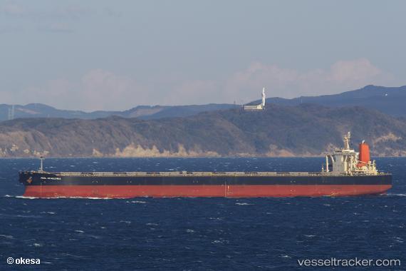
 CAPE KORI
Current Status
Where is the vessel?
CAPE KORI is currently in 344 nm NE of Levelwood, based on AIS data received less than 1h ago.
Latest AIS update:
Current position: 11.94156° S, 0.78966° W (344 nm NE of Levelwood)
Average speed (last 7 days): Loading…
Average speed (last 30 days): Loading…
Vessel profile: CAPE KORI is a Bulk Carrier with dimensions 300m x 300m.
This page combines live AIS, route history, probable destination signals, nearby traffic, and port activity for practical vessel monitoring.
The current position of vessel CAPE KORI is -11.94156 lat / -0.78966 lng. Updated: 2026-04-17 09:48:09 UTCNearest reference points:
- Open sea, approx. 401 nm off the nearest listed port
- Open sea, approx. 415 nm off the nearest listed port
- Open sea, approx. 417 nm off the nearest listed port
Currently sailing under the flag of Liberia ![]()
CAPE KORI built in 2004 year
Deadweight:
203277 tDetails:
Live Vessel CAPE KORI Analytics (details, animations, etc.)
Recent AIS points (UTC):
2026-04-17 04:10:56 UTC · -11.28833, -1.29667 · SOG 9 kn · COG -1°2026-04-17 05:43:55 UTC · -11.47667, -1.14833 · SOG 8 kn · COG -1°
2026-04-17 07:22:55 UTC · -11.66667, -0.99833 · SOG 8 kn · COG -1°
2026-04-17 09:48:09 UTC · -11.94156, -0.78966 · SOG 8.2 kn · COG 142°