 vesseltracker.com
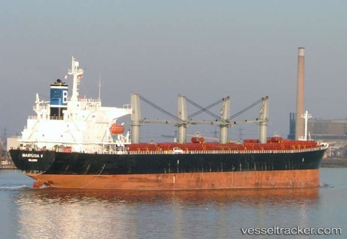
 KATHY OCEAN
Current Status
Where is the vessel?
KATHY OCEAN is currently in 11 nm E of Jingjiang, based on AIS data received less than 1h ago.
Latest AIS update:
Current position: 31.09367° N, 122.62638° E (11 nm E of Jingjiang)
Average speed (last 7 days): Loading…
Average speed (last 30 days): Loading…
Vessel profile: KATHY OCEAN is a Bulk Carrier with dimensions m x m.
This page combines live AIS, route history, probable destination signals, nearby traffic, and port activity for practical vessel monitoring.
The current position of vessel KATHY OCEAN is 31.09367 lat / 122.62638 lng. Updated: 2026-04-22 13:56:12 UTCNearest reference points:
- 14 nm N of Lü-hua Shan
- 15 nm NE of Jingjiang
- 19 nm NE of Lü-hua Shan
Currently sailing under the flag of Panama ![]()
Details:
Live Vessel KATHY OCEAN Analytics (details, animations, etc.)
Recent AIS points (UTC):
2026-04-22 10:30:45 UTC · 31.24982, 121.97249 · SOG 14.3 kn · COG 100°2026-04-22 12:24:22 UTC · 31.09618, 122.38832 · SOG 8.5 kn · COG 70°
2026-04-22 13:40:33 UTC · 31.09292, 122.58373 · SOG 8 kn · COG 70°
2026-04-22 13:56:12 UTC · 31.09367, 122.62638 · SOG 8.4 kn · COG 74°