 vesseltracker.com
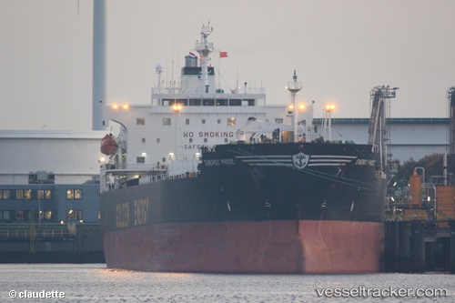
 OCEAN THALIA
Current Status
Where is the vessel?
OCEAN THALIA is currently in Near GILLELEJE, based on AIS data received less than 1h ago.
Latest AIS update:
Current position: 56.24800° N, 12.17354° E (Near GILLELEJE)
Average speed (last 7 days): Loading…
Average speed (last 30 days): Loading…
Vessel profile: OCEAN THALIA is a Oil Products Tanker with dimensions m x m.
This page combines live AIS, route history, probable destination signals, nearby traffic, and port activity for practical vessel monitoring.
The current position of vessel OCEAN THALIA is 56.24800 lat / 12.17354 lng. Updated: 2026-03-30 20:03:41 UTCNearest reference points:
- 11 nm NW of Tisvilde
- Near HUNDESTED
- Near Viken
Currently sailing under the flag of Panama ![]()
Details:
Live Vessel OCEAN THALIA Analytics (details, animations, etc.)
Recent AIS points (UTC):
2026-03-30 13:50:48 UTC · 57.55015, 11.26080 · SOG 13.8 kn · COG 123°2026-03-30 15:30:58 UTC · 57.22463, 11.57451 · SOG 14 kn · COG 158°
2026-03-30 18:04:11 UTC · 56.65912, 11.91295 · SOG 14.1 kn · COG 166°
2026-03-30 20:03:41 UTC · 56.24800, 12.17354 · SOG 14.1 kn · COG 124°