 vesseltracker.com
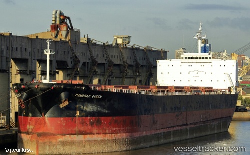
 ATLANTIC B
Current Status
Where is the vessel?
ATLANTIC B is currently in 38 nm NW of Erdemir, based on AIS data received about 2h ago.
Latest AIS update:
Current position: 41.88883° N, 31.11845° E (38 nm NW of Erdemir)
Average speed (last 7 days): Loading…
Average speed (last 30 days): Loading…
Vessel profile: ATLANTIC B is a Bulk Carrier with dimensions m x m.
This page combines live AIS, route history, probable destination signals, nearby traffic, and port activity for practical vessel monitoring.
The current position of vessel ATLANTIC B is 41.88883 lat / 31.11845 lng. Updated: 2026-04-16 21:35:54 UTCNearest reference points:
- Near Erdemir
- 45 nm N of RUMELI FENERI
- Near Derince
Currently sailing under the flag of Liberia ![]()
Details:
Live Vessel ATLANTIC B Analytics (details, animations, etc.)
Recent AIS points (UTC):
2026-04-16 15:29:06 UTC · 41.39453, 29.62184 · SOG 12.1 kn · COG 66°2026-04-16 19:53:05 UTC · 41.74987, 30.69239 · SOG 12 kn · COG 64°
2026-04-16 21:35:54 UTC · 41.88883, 31.11845 · SOG 12.2 kn · COG 65°
2026-04-16 21:35:54 UTC · 41.88883, 31.11845 · SOG 12.2 kn · COG 65°