 vesseltracker.com
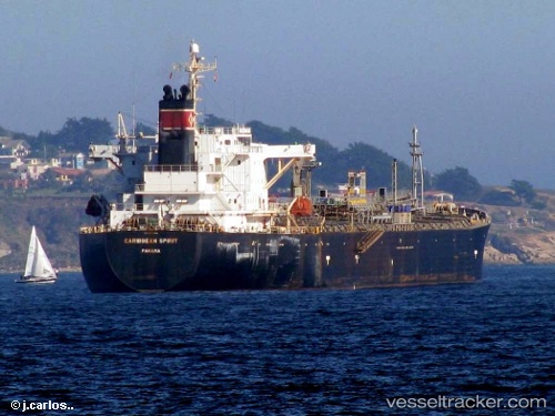
 DAKUSH
Current Status
Where is the vessel?
DAKUSH is currently in 21 nm S of Abu Musa, based on AIS data received about 1h ago.
Latest AIS update:
Current position: 25.53279° N, 54.92906° E (21 nm S of Abu Musa)
Average speed (last 7 days): Loading…
Average speed (last 30 days): Loading…
Vessel profile: DAKUSH is a Oil/Chemical Tanker with dimensions m x m.
This page combines live AIS, route history, probable destination signals, nearby traffic, and port activity for practical vessel monitoring.
The current position of vessel DAKUSH is 25.53279 lat / 54.92906 lng. Updated: 2026-04-12 19:36:37 UTCNearest reference points:
- 17 nm NW of Free Port
- Near Free Port
- Near Sharjah
Currently sailing under the flag of Cook Islands ![]()
Details:
Live Vessel DAKUSH Analytics (details, animations, etc.)
Recent AIS points (UTC):
2026-04-12 14:03:44 UTC · 25.53448, 54.93243 · SOG 0.1 kn · COG 258°2026-04-12 15:33:09 UTC · 25.53312, 54.93192 · SOG 0.7 kn · COG 301°
2026-04-12 17:57:33 UTC · 25.53275, 54.92908 · SOG 0 kn · COG 26°
2026-04-12 19:36:37 UTC · 25.53279, 54.92906 · SOG 0.1 kn · COG 33°