 vesseltracker.com
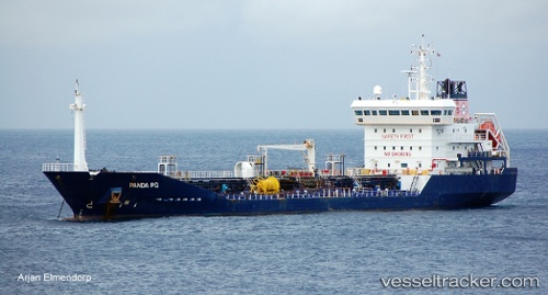
 GREAT PANAMA
Current Status
Where is the vessel?
GREAT PANAMA is currently in Near TABOGA, based on AIS data received about 1h ago.
Latest AIS update:
Current position: 8.80910° N, 79.53328° W (Near TABOGA)
Average speed (last 7 days): Loading…
Average speed (last 30 days): Loading…
Vessel profile: GREAT PANAMA is a Oil/Chemical Tanker with dimensions m x m.
This page combines live AIS, route history, probable destination signals, nearby traffic, and port activity for practical vessel monitoring.
The current position of vessel GREAT PANAMA is 8.80910 lat / -79.53328 lng. Updated: 2026-04-18 09:22:48 UTCNearest reference points:
- Near Panama
- Near Melones
- Near El Chorrillo
Currently sailing under the flag of Panama ![]()
Details:
Live Vessel GREAT PANAMA Analytics (details, animations, etc.)
Recent AIS points (UTC):
2026-04-18 03:54:48 UTC · 8.82927, -79.51327 · SOG 0.1 kn · COG 26°2026-04-18 06:21:53 UTC · 8.83191, -79.51349 · SOG 0 kn · COG 135°
2026-04-18 08:01:44 UTC · 8.81129, -79.53381 · SOG 1.9 kn · COG 199°
2026-04-18 09:22:48 UTC · 8.80910, -79.53328 · SOG 0.1 kn · COG 328°