 vesseltracker.com
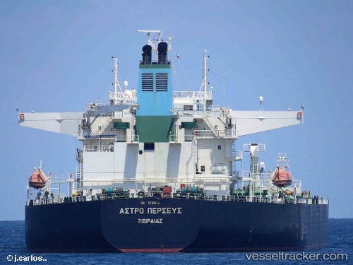
 FURY
FURY
Current Status
Where is the vessel?
FURY is currently in 43 nm E of JASK, based on AIS data received about 2d ago.
Latest AIS update:
Current position: 25.39107° N, 58.51757° E (43 nm E of JASK)
Average speed (last 7 days): Loading…
Average speed (last 30 days): Loading…
Vessel profile: FURY is a Crude Oil Tanker with dimensions m x m.
This page combines live AIS, route history, probable destination signals, nearby traffic, and port activity for practical vessel monitoring.
The current position of vessel FURY is 25.39107 lat / 58.51757 lng. Updated: 2026-04-09 20:11:17 UTCNearest reference points:
- 17 nm SE of JASK
- 58 nm S of JASK
- 42 nm SE of Offshore Fujairah
Currently sailing under the flag of Guinea-Bissau ![]()
Details:
Live Vessel FURY Analytics (details, animations, etc.)
Recent AIS points (UTC):
2026-04-09 17:40:15 UTC · 25.39147, 58.51777 · SOG 0.4 kn · COG 290°2026-04-09 19:32:33 UTC · 25.39080, 58.51707 · SOG 1.1 kn · COG 318°
2026-04-09 20:11:17 UTC · 25.39107, 58.51757 · SOG 0.1 kn · COG 298°
2026-04-09 20:11:17 UTC · 25.39107, 58.51757 · SOG 0.1 kn · COG 298°