 vesseltracker.com
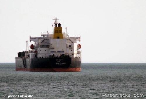
 SEA ROCK
Current Status
Where is the vessel?
SEA ROCK is currently in 25 nm E of Port Sudan, based on AIS data received about 18h ago.
Latest AIS update:
Current position: 19.72543° N, 37.65955° E (25 nm E of Port Sudan)
Average speed (last 7 days): Loading…
Average speed (last 30 days): Loading…
Vessel profile: SEA ROCK is a Oil Products Tanker with dimensions m x m.
This page combines live AIS, route history, probable destination signals, nearby traffic, and port activity for practical vessel monitoring.
The current position of vessel SEA ROCK is 19.72543 lat / 37.65955 lng. Updated: 2026-04-10 07:12:41 UTCNearest reference points:
- Near Port Sudan
- 53 nm SW of SHUAIBAH
- 64 nm W of Tusdeer Free Zone
Currently sailing under the flag of Panama ![]()
Details:
Live Vessel SEA ROCK Analytics (details, animations, etc.)
Recent AIS points (UTC):
2026-04-10 02:14:41 UTC · 19.78600, 37.68587 · SOG 0.9 kn · COG 282°2026-04-10 04:02:20 UTC · 19.76512, 37.67257 · SOG 0.5 kn · COG 281°
2026-04-10 04:27:52 UTC · 19.76025, 37.67048 · SOG 1.1 kn · COG -1°
2026-04-10 07:12:41 UTC · 19.72543, 37.65955 · SOG 0.8 kn · COG 278°