 vesseltracker.com
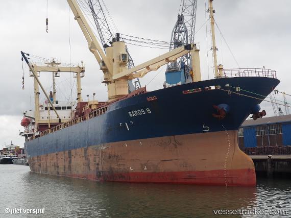
 Saros B
Current Status
Where is the vessel?
Saros B is currently in Near Novorossiysk, based on AIS data received less than 1h ago.
Latest AIS update:
Current position: 44.72621° N, 37.77264° E (Near Novorossiysk)
Average speed (last 7 days): Loading…
Average speed (last 30 days): Loading…
Vessel profile: Saros B is a General Cargo Ship with dimensions 110m x 19m.
This page combines live AIS, route history, probable destination signals, nearby traffic, and port activity for practical vessel monitoring.
The current position of vessel Saros B is 44.72621 lat / 37.77264 lng. Updated: 2026-04-18 16:21:31 UTCNearest reference points:
- Near Novorossiysk
- Near GELENDZHIK
- Near Cpc Terminal
Currently sailing under the flag of Panama ![]()
Saros B built in 2003 year
Deadweight:
11443 tDetails:
Live Vessel Saros B Analytics (details, animations, etc.)
Recent AIS points (UTC):
2026-04-18 09:33:01 UTC · 45.16501, 37.87834 · SOG 8 kn · COG 330°2026-04-18 11:56:34 UTC · 44.73033, 37.79863 · SOG 1.2 kn · COG 330°
2026-04-18 13:23:56 UTC · 44.73038, 37.79871 · SOG 1.2 kn · COG 330°
2026-04-18 16:21:31 UTC · 44.72621, 37.77264 · SOG 8.1 kn · COG 330°