 vesseltracker.com
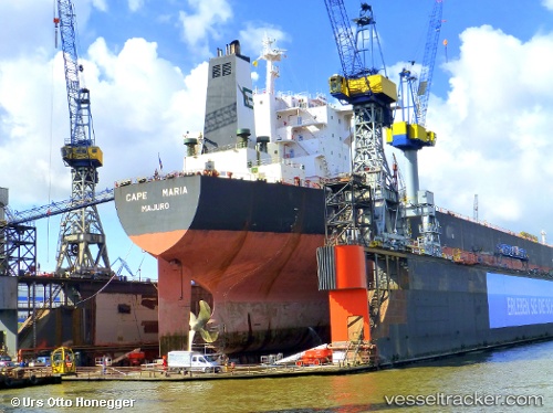
Cape Maria
Current StatusWhere is the vessel?
Cape Maria is currently in 250 nm SW of Greenville, based on AIS data received about 1h ago.
Latest AIS update:
Current position: 1.25958° N, 10.90497° W (250 nm SW of Greenville)
Average speed (last 7 days): Loading…
Average speed (last 30 days): Loading…
Vessel profile: Cape Maria is a Bulk Carrier with dimensions 47m x 289m.
This page combines live AIS, route history, probable destination signals, nearby traffic, and port activity for practical vessel monitoring.
The current position of vessel Cape Maria is 1.25958 lat / -10.90497 lng. Updated: 2026-04-18 05:51:03 UTCNearest reference points:
- Open sea, approx. 403 nm off the nearest listed port
- Open sea, approx. 404 nm off the nearest listed port
- Open sea, approx. 405 nm off the nearest listed port
Details:
Live Vessel Cape Maria Analytics (details, animations, etc.)
Recent AIS points (UTC):
2026-04-17 23:25:05 UTC · 2.16833, -11.37667 · SOG 9.8 kn · COG 155°2026-04-18 01:22:48 UTC · 1.88667, -11.22833 · SOG 9 kn · COG -1°
2026-04-18 03:32:55 UTC · 1.58185, -11.07238 · SOG 9.5 kn · COG 153°
2026-04-18 05:51:03 UTC · 1.25958, -10.90497 · SOG 9.3 kn · COG 153°