 vesseltracker.com
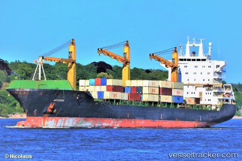
Artenos
Current StatusWhere is the vessel?
Artenos is currently in Near RAJAEI, based on AIS data received about 3h ago.
Latest AIS update:
Current position: 27.09014° N, 56.05605° E (Near RAJAEI)
Average speed (last 7 days): Loading…
Average speed (last 30 days): Loading…
Vessel profile: Artenos is a Container Ship with dimensions 30m x 206m.
This page combines live AIS, route history, probable destination signals, nearby traffic, and port activity for practical vessel monitoring.
The current position of vessel Artenos is 27.09014 lat / 56.05605 lng. Updated: 2026-03-30 21:15:33 UTCNearest reference points:
- Near RAJAEI
- Near Shahid Rajaee Pt/Bandar Abbas
- Near SHAHID BAHONAR
Details:
Live Vessel Artenos Analytics (details, animations, etc.)
Recent AIS points (UTC):
2026-03-30 17:53:17 UTC · 27.02635, 56.36256 · SOG 0 kn · COG 181°2026-03-30 19:46:54 UTC · 27.06002, 56.19765 · SOG 3.8 kn · COG 277°
2026-03-30 21:15:33 UTC · 27.09014, 56.05605 · SOG 1 kn · COG 327°
2026-03-30 21:15:33 UTC · 27.09014, 56.05605 · SOG 1 kn · COG 327°