 vesseltracker.com
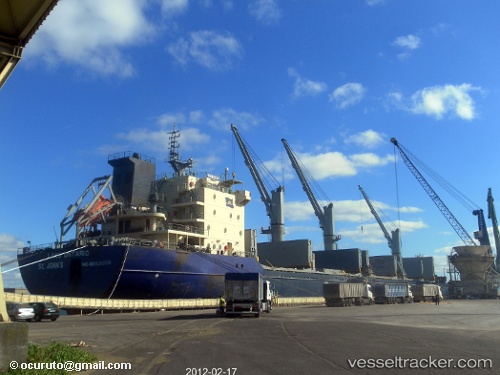
Lake Ontario
Current StatusWhere is the vessel?
Lake Ontario is currently in 108 nm SW of Conakry, based on AIS data received less than 1h ago.
Latest AIS update:
Current position: 8.37533° N, 15.14129° W (108 nm SW of Conakry)
Average speed (last 7 days): Loading…
Average speed (last 30 days): Loading…
Vessel profile: Lake Ontario is a Bulk Carrier with dimensions 23m x 184m.
This page combines live AIS, route history, probable destination signals, nearby traffic, and port activity for practical vessel monitoring.
The current position of vessel Lake Ontario is 8.37533 lat / -15.14129 lng. Updated: 2026-03-30 17:28:56 UTCNearest reference points:
- 79 nm SW of Conakry
- 97 nm SW of Port de Boké
- 49 nm S of Port de Boké
Details:
Live Vessel Lake Ontario Analytics (details, animations, etc.)
Recent AIS points (UTC):
2026-03-30 12:10:56 UTC · 9.24429, -15.92600 · SOG 12.8 kn · COG 138°2026-03-30 13:36:26 UTC · 9.01401, -15.71797 · SOG 13 kn · COG 140°
2026-03-30 15:46:28 UTC · 8.65181, -15.39024 · SOG 13.4 kn · COG 138°
2026-03-30 17:28:56 UTC · 8.37533, -15.14129 · SOG 12.9 kn · COG 140°