 vesseltracker.com
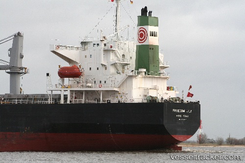
 HARVEST LEGACY
Current Status
Where is the vessel?
HARVEST LEGACY is currently in 119 nm S of Kastellorizou (ex Megísti), based on AIS data received about 1d ago.
Latest AIS update:
Current position: 34.18112° N, 29.29482° E (119 nm S of Kastellorizou (ex Megísti))
Average speed (last 7 days): Loading…
Average speed (last 30 days): Loading…
Vessel profile: HARVEST LEGACY is a Bulk Carrier with dimensions m x m.
This page combines live AIS, route history, probable destination signals, nearby traffic, and port activity for practical vessel monitoring.
The current position of vessel HARVEST LEGACY is 34.18112 lat / 29.29482 lng. Updated: 2026-04-10 06:40:26 UTCNearest reference points:
- 108 nm S of Kastellorizou (ex Megísti)
- 129 nm NW of ABU QIR
- 91 nm SE of Polychnitos Lesvou
Currently sailing under the flag of Panama ![]()
Details:
Live Vessel HARVEST LEGACY Analytics (details, animations, etc.)
Recent AIS points (UTC):
2026-04-10 02:06:25 UTC · 34.70667, 28.73333 · SOG 9 kn · COG -1°2026-04-10 03:45:24 UTC · 34.51833, 28.94167 · SOG 8 kn · COG -1°
2026-04-10 05:03:30 UTC · 34.36500, 29.10167 · SOG 9 kn · COG -1°
2026-04-10 06:40:26 UTC · 34.18112, 29.29482 · SOG 8.7 kn · COG 139°