 vesseltracker.com
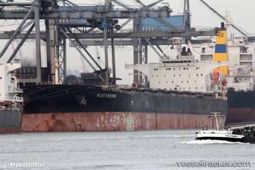
 JIAN FA
Current Status
Where is the vessel?
JIAN FA is currently in 333 nm SE of Richards Bay, based on AIS data received less than 1h ago.
Latest AIS update:
Current position: 32.69444° S, 36.79567° E (333 nm SE of Richards Bay)
Average speed (last 7 days): Loading…
Average speed (last 30 days): Loading…
Vessel profile: JIAN FA is a Bulk Carrier with dimensions m x m.
This page combines live AIS, route history, probable destination signals, nearby traffic, and port activity for practical vessel monitoring.
The current position of vessel JIAN FA is -32.69444 lat / 36.79567 lng. Updated: 2026-04-19 16:07:37 UTCNearest reference points:
- Open sea, approx. 401 nm off the nearest listed port
- Open sea, approx. 403 nm off the nearest listed port
- Open sea, approx. 405 nm off the nearest listed port
Currently sailing under the flag of Liberia ![]()
JIAN FA built in 2004 year
Deadweight:
175085 tDetails:
Live Vessel JIAN FA Analytics (details, animations, etc.)
Recent AIS points (UTC):
2026-04-19 13:36:03 UTC · -32.82333, 36.35167 · SOG 9 kn · COG -1°2026-04-19 14:21:07 UTC · -32.78833, 36.48667 · SOG 9 kn · COG -1°
2026-04-19 16:01:43 UTC · -32.69927, 36.77952 · SOG 8.8 kn · COG 73°
2026-04-19 16:07:37 UTC · -32.69444, 36.79567 · SOG 8.8 kn · COG 72°