 vesseltracker.com
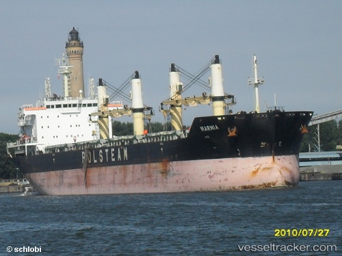
 CRYSTAL LAND
Current Status
Where is the vessel?
CRYSTAL LAND is currently in 15 nm W of Hardelot-Plage, based on AIS data received less than 1h ago.
Latest AIS update:
Current position: 50.61535° N, 1.19203° E (15 nm W of Hardelot-Plage)
Average speed (last 7 days): Loading…
Average speed (last 30 days): Loading…
Vessel profile: CRYSTAL LAND is a Bulk Carrier with dimensions m x m.
This page combines live AIS, route history, probable destination signals, nearby traffic, and port activity for practical vessel monitoring.
The current position of vessel CRYSTAL LAND is 50.61535 lat / 1.19203 lng. Updated: 2026-04-20 06:00:45 UTCNearest reference points:
- Near Le Portel
- Near Dungeness
- Near Folkestone
Currently sailing under the flag of Barbados ![]()
Details:
Live Vessel CRYSTAL LAND Analytics (details, animations, etc.)
Recent AIS points (UTC):
2026-04-20 02:21:55 UTC · 50.37608, 0.21263 · SOG 11.2 kn · COG 74°2026-04-20 03:44:46 UTC · 50.44268, 0.60587 · SOG 11.4 kn · COG 74°
2026-04-20 04:36:21 UTC · 50.48703, 0.85090 · SOG 11.3 kn · COG 74°
2026-04-20 06:00:45 UTC · 50.61535, 1.19203 · SOG 10.8 kn · COG 46°