 vesseltracker.com
 LESTE
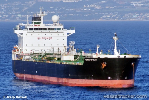
LESTE
Current Status
Where is the vessel?
LESTE is currently in Near Apapa, based on AIS data received about 1h ago.
Latest AIS update:
Current position: 6.33516° N, 3.32468° E (Near Apapa)
Average speed (last 7 days): Loading…
Average speed (last 30 days): Loading…
Vessel profile: LESTE is a Chemical/Oil Products Tanker with dimensions 32m x 183m.
This page combines live AIS, route history, probable destination signals, nearby traffic, and port activity for practical vessel monitoring.
The current position of vessel LESTE is 6.33516 lat / 3.32468 lng. Updated: 2026-04-08 01:43:19 UTCNearest reference points:
- Near Apapa
- Near Kirikiri
- Near Lagos
Currently sailing under the flag of Nigeria ![]()
LESTE built in 2004 year
Deadweight:
46803 tDetails:
Live Vessel LESTE Analytics (details, animations, etc.)
Recent AIS points (UTC):
2026-04-07 19:58:19 UTC · 6.33548, 3.32446 · SOG 0.2 kn · COG -1°2026-04-07 21:55:19 UTC · 6.33570, 3.32435 · SOG 0 kn · COG -1°
2026-04-08 00:01:21 UTC · 6.33353, 3.32457 · SOG 0.2 kn · COG -1°
2026-04-08 01:43:19 UTC · 6.33516, 3.32468 · SOG 0.7 kn · COG -1°