 vesseltracker.com
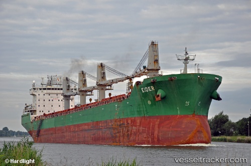
 SOLARA
Current Status
Where is the vessel?
SOLARA is currently in Near La Plata, based on AIS data received about 1h ago.
Latest AIS update:
Current position: 34.66322° S, 57.96610° W (Near La Plata)
Average speed (last 7 days): Loading…
Average speed (last 30 days): Loading…
Vessel profile: SOLARA is a Bulk Carrier with dimensions m x m.
This page combines live AIS, route history, probable destination signals, nearby traffic, and port activity for practical vessel monitoring.
The current position of vessel SOLARA is -34.66322 lat / -57.96610 lng. Updated: 2026-04-18 19:49:10 UTCNearest reference points:
- Near Dock Sur
- Near Avellaneda
- Near JUAN LACAZE
Currently sailing under the flag of Barbados ![]()
Details:
Live Vessel SOLARA Analytics (details, animations, etc.)
Recent AIS points (UTC):
2026-04-18 13:59:03 UTC · -35.16548, -56.90297 · SOG 11.9 kn · COG 267°2026-04-18 16:18:26 UTC · -34.86071, -57.35353 · SOG 12.6 kn · COG 303°
2026-04-18 17:46:33 UTC · -34.74931, -57.62043 · SOG 9.6 kn · COG 284°
2026-04-18 19:49:10 UTC · -34.66322, -57.96610 · SOG 12.4 kn · COG 8°