 vesseltracker.com
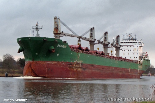
 Johanna G
Current Status
Where is the vessel?
Johanna G is currently in Near Casablanca, based on AIS data received less than 1h ago.
Latest AIS update:
Current position: 33.72413° N, 7.69718° W (Near Casablanca)
Average speed (last 7 days): Loading…
Average speed (last 30 days): Loading…
Vessel profile: Johanna G is a Bulk Carrier with dimensions 200m x 24m.
This page combines live AIS, route history, probable destination signals, nearby traffic, and port activity for practical vessel monitoring.
The current position of vessel Johanna G is 33.72413 lat / -7.69718 lng. Updated: 2026-04-12 10:28:22 UTCNearest reference points:
- Near Mohammedia
- 54 nm N of El Jadida
- Near Jorf Lasfar
Currently sailing under the flag of Portugal ![]()
Johanna G built in 2004 year
Deadweight:
37193 tDetails:
Live Vessel Johanna G Analytics (details, animations, etc.)
Recent AIS points (UTC):
2026-04-10 08:04:03 UTC · 33.72497, -7.69635 · SOG 0 kn · COG 309°2026-04-12 07:04:20 UTC · 33.72436, -7.69675 · SOG 0.2 kn · COG 318°
2026-04-12 08:19:16 UTC · 33.72442, -7.69642 · SOG 0.2 kn · COG 316°
2026-04-12 10:28:22 UTC · 33.72413, -7.69718 · SOG 0.2 kn · COG 319°