 vesseltracker.com
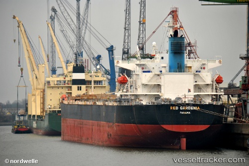
Tramp Lady
Current StatusWhere is the vessel?
Tramp Lady is currently in Near SANTAREM, based on AIS data received less than 1h ago.
Latest AIS update:
Current position: 2.39155° S, 54.79576° W (Near SANTAREM)
Average speed (last 7 days): Loading…
Average speed (last 30 days): Loading…
Vessel profile: Tramp Lady is a Bulk Carrier with dimensions 31m x 225m.
This page combines live AIS, route history, probable destination signals, nearby traffic, and port activity for practical vessel monitoring.
The current position of vessel Tramp Lady is -2.39155 lat / -54.79576 lng. Updated: 2026-04-10 01:24:21 UTCNearest reference points:
- 15 nm NW of SANTAREM
Details:
Live Vessel Tramp Lady Analytics (details, animations, etc.)
Recent AIS points (UTC):
2026-04-09 19:42:20 UTC · -2.39181, -54.79941 · SOG 0.1 kn · COG 117°2026-04-09 21:54:17 UTC · -2.39077, -54.79723 · SOG 0.1 kn · COG 188°
2026-04-09 23:39:19 UTC · -2.39150, -54.79599 · SOG 0 kn · COG 231°
2026-04-10 01:24:21 UTC · -2.39155, -54.79576 · SOG 0 kn · COG 239°