 vesseltracker.com
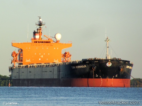
 YOUNGER
Current Status
Where is the vessel?
YOUNGER is currently in 194 nm W of NASSIT, based on AIS data received less than 1h ago.
Latest AIS update:
Current position: 7.38234° N, 16.30611° W (194 nm W of NASSIT)
Average speed (last 7 days): Loading…
Average speed (last 30 days): Loading…
Vessel profile: YOUNGER is a Bulk Carrier with dimensions m x m.
This page combines live AIS, route history, probable destination signals, nearby traffic, and port activity for practical vessel monitoring.
The current position of vessel YOUNGER is 7.38234 lat / -16.30611 lng. Updated: 2026-04-19 23:36:58 UTCNearest reference points:
- 79 nm SW of Conakry
- 97 nm SW of Port de Boké
- 144 nm SW of Bubaque
Currently sailing under the flag of Panama ![]()
Details:
Live Vessel YOUNGER Analytics (details, animations, etc.)
Recent AIS points (UTC):
2026-04-19 19:36:02 UTC · 8.00250, -16.75999 · SOG 11.3 kn · COG 146°2026-04-19 21:50:57 UTC · 7.65723, -16.50359 · SOG 11.4 kn · COG 143°
2026-04-19 22:45:08 UTC · 7.51852, -16.39818 · SOG 11.6 kn · COG 145°
2026-04-19 23:36:58 UTC · 7.38234, -16.30611 · SOG 11.4 kn · COG 145°