 vesseltracker.com
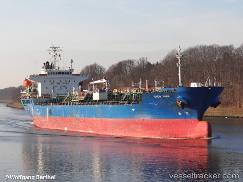
 BEGONIA
Current Status
Where is the vessel?
BEGONIA is currently in 11 nm E of Dumai, based on AIS data received less than 1h ago.
Latest AIS update:
Current position: 1.66167° N, 101.63833° E (11 nm E of Dumai)
Average speed (last 7 days): Loading…
Average speed (last 30 days): Loading…
Vessel profile: BEGONIA is a Oil/Chemical Tanker with dimensions m x m.
This page combines live AIS, route history, probable destination signals, nearby traffic, and port activity for practical vessel monitoring.
The current position of vessel BEGONIA is 1.66167 lat / 101.63833 lng. Updated: 2026-04-13 00:02:32 UTCNearest reference points:
- Near Dumai
- 14 nm W of SUNGAI UDANG
- 34 nm NW of FUTONG
Currently sailing under the flag of Tuvalu ![]()
Details:
Live Vessel BEGONIA Analytics (details, animations, etc.)
Recent AIS points (UTC):
2026-04-12 18:03:16 UTC · 1.69202, 101.72852 · SOG 11.9 kn · COG 263°2026-04-12 19:24:07 UTC · 1.66171, 101.63876 · SOG 0 kn · COG 71°
2026-04-12 21:05:56 UTC · 1.66170, 101.63874 · SOG 0 kn · COG 71°
2026-04-13 00:02:32 UTC · 1.66167, 101.63833 · SOG 0 kn · COG -1°