 vesseltracker.com
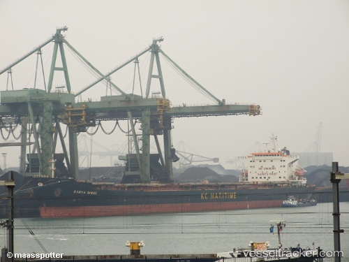
The Strong
Current StatusWhere is the vessel?
The Strong is currently in Near Chengxi, based on AIS data received about 1h ago.
Latest AIS update:
Current position: 31.92465° N, 120.21815° E (Near Chengxi)
Average speed (last 7 days): Loading…
Average speed (last 30 days): Loading…
Vessel profile: The Strong is a Bulk Carrier with dimensions 32m x 225m.
This page combines live AIS, route history, probable destination signals, nearby traffic, and port activity for practical vessel monitoring.
The current position of vessel The Strong is 31.92465 lat / 120.21815 lng. Updated: 2026-04-08 03:25:50 UTCNearest reference points:
- Near Chengxi
- Near Jiangyin Pt
- Near Jingjiang Pt
Details:
Live Vessel The Strong Analytics (details, animations, etc.)
Recent AIS points (UTC):
2026-04-07 21:46:40 UTC · 31.92467, 120.21816 · SOG 0 kn · COG 53°2026-04-07 23:49:47 UTC · 31.92467, 120.21812 · SOG 0 kn · COG 53°
2026-04-08 01:28:44 UTC · 31.92460, 120.21816 · SOG 0 kn · COG 53°
2026-04-08 03:25:50 UTC · 31.92465, 120.21815 · SOG 0 kn · COG 53°