 vesseltracker.com
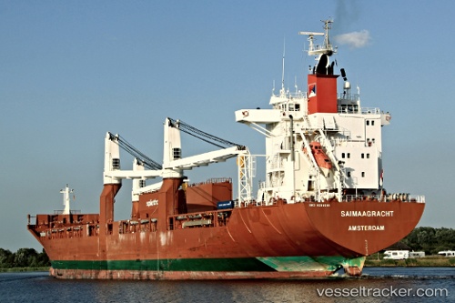
Saimaagracht
Current StatusWhere is the vessel?
Saimaagracht is currently in Near Rauma, based on AIS data received about 2h ago.
Latest AIS update:
Current position: 61.12655° N, 21.43297° E (Near Rauma)
Average speed (last 7 days): Loading…
Average speed (last 30 days): Loading…
Vessel profile: Saimaagracht is a Multi Purpose Carrier with dimensions 26m x 185m.
This page combines live AIS, route history, probable destination signals, nearby traffic, and port activity for practical vessel monitoring.
The current position of vessel Saimaagracht is 61.12655 lat / 21.43297 lng. Updated: 2026-04-16 15:26:34 UTCNearest reference points:
- Near Rouhu
- Near Pansio
- Near Turku
Details:
Live Vessel Saimaagracht Analytics (details, animations, etc.)
Recent AIS points (UTC):
2026-04-16 09:50:34 UTC · 61.12657, 21.43282 · SOG 0.1 kn · COG 262°2026-04-16 11:23:36 UTC · 61.12660, 21.43288 · SOG 0 kn · COG 262°
2026-04-16 13:38:34 UTC · 61.12663, 21.43279 · SOG 0 kn · COG 262°
2026-04-16 15:26:34 UTC · 61.12655, 21.43297 · SOG 0 kn · COG 262°