 vesseltracker.com
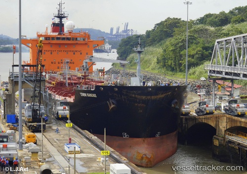
 DERIN
DERIN
Current Status
Where is the vessel?
DERIN is currently in Near TANGER MED, based on AIS data received about 1h ago.
Latest AIS update:
Current position: 35.89617° N, 5.49993° W (Near TANGER MED)
Average speed (last 7 days): Loading…
Average speed (last 30 days): Loading…
Vessel profile: DERIN is a Oil/Chemical Tanker with dimensions m x m.
This page combines live AIS, route history, probable destination signals, nearby traffic, and port activity for practical vessel monitoring.
The current position of vessel DERIN is 35.89617 lat / -5.49993 lng. Updated: 2026-04-17 13:28:44 UTCNearest reference points:
- Near TARIFA
- Near TANGER MED
- Near Algeciras
Currently sailing under the flag of Barbados ![]()
Details:
Live Vessel DERIN Analytics (details, animations, etc.)
Recent AIS points (UTC):
2026-04-17 07:22:44 UTC · 35.89623, -5.49994 · SOG 0 kn · COG 51°2026-04-17 09:49:44 UTC · 35.89619, -5.49996 · SOG 0 kn · COG 51°
2026-04-17 11:46:44 UTC · 35.89621, -5.49993 · SOG 0 kn · COG 51°
2026-04-17 13:28:44 UTC · 35.89617, -5.49993 · SOG 0 kn · COG 51°