 vesseltracker.com
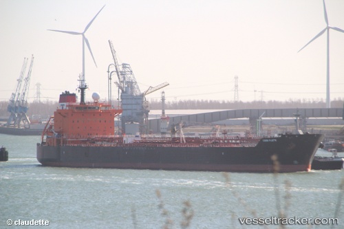
 CHASE OCEAN
Current Status
Where is the vessel?
CHASE OCEAN is currently in Near Oquendo, based on AIS data received about 1d ago.
Latest AIS update:
Current position: 11.99125° S, 77.18411° W (Near Oquendo)
Average speed (last 7 days): Loading…
Average speed (last 30 days): Loading…
Vessel profile: CHASE OCEAN is a Oil/Chemical Tanker with dimensions m x m.
This page combines live AIS, route history, probable destination signals, nearby traffic, and port activity for practical vessel monitoring.
The current position of vessel CHASE OCEAN is -11.99125 lat / -77.18411 lng. Updated: 2026-04-10 07:47:44 UTCNearest reference points:
- Near Callao
- 43 nm SW of Barranca
- 125 nm SW of Supe Bay
Currently sailing under the flag of Liberia ![]()
Details:
Live Vessel CHASE OCEAN Analytics (details, animations, etc.)
Recent AIS points (UTC):
2026-04-10 02:21:45 UTC · -11.53479, -78.00087 · SOG 13.4 kn · COG 120°2026-04-10 04:16:14 UTC · -11.75524, -77.62485 · SOG 13.4 kn · COG 122°
2026-04-10 06:27:46 UTC · -11.95087, -77.28497 · SOG 6 kn · COG 116°
2026-04-10 07:47:44 UTC · -11.99125, -77.18411 · SOG 2.3 kn · COG 135°