 vesseltracker.com
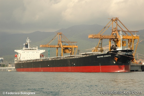
Kartini Baruna
Current StatusWhere is the vessel?
Kartini Baruna is currently in Near Tanjung Merangas, based on AIS data received less than 1h ago.
Latest AIS update:
Current position: 0.03440° N, 117.53418° E (Near Tanjung Merangas)
Average speed (last 7 days): Loading…
Average speed (last 30 days): Loading…
Vessel profile: Kartini Baruna is a Bulk Carrier with dimensions 32m x 225m.
This page combines live AIS, route history, probable destination signals, nearby traffic, and port activity for practical vessel monitoring.
The current position of vessel Kartini Baruna is 0.03440 lat / 117.53418 lng. Updated: 2026-04-22 23:54:04 UTCNearest reference points:
- Near Santan Terminal
- 16 nm SE of Santan Terminal
- Near TANJUNG BARA
Details:
Live Vessel Kartini Baruna Analytics (details, animations, etc.)
Recent AIS points (UTC):
2026-04-22 19:30:04 UTC · 0.03438, 117.53422 · SOG 0 kn · COG 156°2026-04-22 21:21:04 UTC · 0.03438, 117.53422 · SOG 0 kn · COG 156°
2026-04-22 22:12:04 UTC · 0.03438, 117.53418 · SOG 0 kn · COG 156°
2026-04-22 23:54:04 UTC · 0.03440, 117.53418 · SOG 0 kn · COG 156°