 vesseltracker.com
 TAVA 4
Current Status
Where is the vessel?
TAVA 4 is currently in 35 nm SE of Vityaz, based on AIS data received about 1h ago.
Latest AIS update:
Current position: 42.07170° N, 131.50340° E (35 nm SE of Vityaz)
Average speed (last 7 days): Loading…
Average speed (last 30 days): Loading…
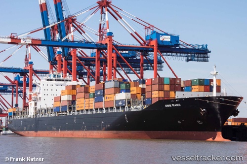
Vessel profile: TAVA 4 is a Container Ship with dimensions m x m.
This page combines live AIS, route history, probable destination signals, nearby traffic, and port activity for practical vessel monitoring.
The current position of vessel TAVA 4 is 42.07170 lat / 131.50340 lng. Updated: 2026-04-20 00:13:49 UTCNearest reference points:
- Near Slavyanka
- 26 nm S of Askold
- Near POSYET
Currently sailing under the flag of Comoros ![]()
Details:
Live Vessel TAVA 4 Analytics (details, animations, etc.)
Recent AIS points (UTC):
2026-04-19 19:31:38 UTC · 41.35780, 130.90689 · SOG 10.7 kn · COG 32°2026-04-19 21:35:39 UTC · 41.67019, 131.16997 · SOG 10.7 kn · COG 33°
2026-04-19 22:13:19 UTC · 41.76276, 131.25107 · SOG 10.4 kn · COG 31°
2026-04-20 00:13:49 UTC · 42.07170, 131.50340 · SOG 11 kn · COG 29°