 vesseltracker.com
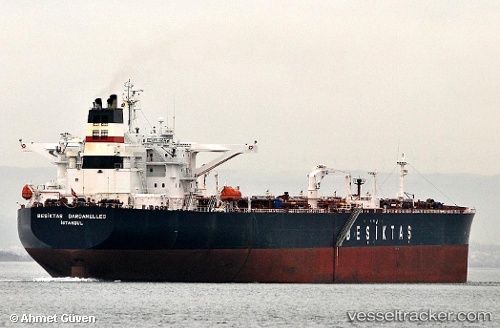
 AMAZON
Current Status
Where is the vessel?
AMAZON is currently in 38 nm SE of Vrangel', based on AIS data received about 1h ago.
Latest AIS update:
Current position: 42.24125° N, 133.64005° E (38 nm SE of Vrangel')
Average speed (last 7 days): Loading…
Average speed (last 30 days): Loading…
Vessel profile: AMAZON is a Crude Oil Tanker with dimensions m x m.
This page combines live AIS, route history, probable destination signals, nearby traffic, and port activity for practical vessel monitoring.
The current position of vessel AMAZON is 42.24125 lat / 133.64005 lng. Updated: 2026-04-14 11:25:16 UTCNearest reference points:
- 46 nm SE of Vrangel'
- 29 nm SE of Vrangel'
- 35 nm S of Vrangel'
Currently sailing under the flag of Oman ![]()
Details:
Live Vessel AMAZON Analytics (details, animations, etc.)
Recent AIS points (UTC):
2026-04-14 05:27:51 UTC · 42.23000, 133.61501 · SOG 0 kn · COG -1°2026-04-14 08:12:57 UTC · 42.24333, 133.62833 · SOG 0 kn · COG -1°
2026-04-14 09:48:54 UTC · 42.24333, 133.63499 · SOG 0 kn · COG -1°
2026-04-14 11:25:16 UTC · 42.24125, 133.64005 · SOG 0.2 kn · COG 171°