 vesseltracker.com
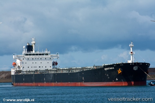
 ANASTASIA
Current Status
Where is the vessel?
ANASTASIA is currently in 39 nm S of GANGAVARAM, based on AIS data received about 6h ago.
Latest AIS update:
Current position: 16.97578° N, 83.35298° E (39 nm S of GANGAVARAM)
Average speed (last 7 days): Loading…
Average speed (last 30 days): Loading…
Vessel profile: ANASTASIA is a Bulk Carrier with dimensions m x m.
This page combines live AIS, route history, probable destination signals, nearby traffic, and port activity for practical vessel monitoring.
The current position of vessel ANASTASIA is 16.97578 lat / 83.35298 lng. Updated: 2026-04-15 00:38:16 UTCNearest reference points:
- Near Vishakhapatnam
- Near Wipro Sez/Resapuvanipalem
- Near Gopalpur
Currently sailing under the flag of Liberia ![]()
Details:
Live Vessel ANASTASIA Analytics (details, animations, etc.)
Recent AIS points (UTC):
2026-04-14 21:44:13 UTC · 17.57568, 83.43610 · SOG 12 kn · COG 185°2026-04-14 23:44:24 UTC · 17.16101, 83.38363 · SOG 12.3 kn · COG 194°
2026-04-15 00:38:16 UTC · 16.97578, 83.35298 · SOG 12.8 kn · COG 180°
2026-04-15 00:38:16 UTC · 16.97578, 83.35298 · SOG 12.8 kn · COG 180°