 vesseltracker.com
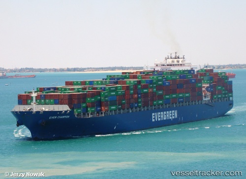
 KOTA SANTOS
Current Status
Where is the vessel?
KOTA SANTOS is currently in 30 nm W of Buenaventura, based on AIS data received less than 1h ago.
Latest AIS update:
Current position: 3.90213° N, 77.56819° W (30 nm W of Buenaventura)
Average speed (last 7 days): Loading…
Average speed (last 30 days): Loading…
Vessel profile: KOTA SANTOS is a Container Ship with dimensions 42m x 334m.
This page combines live AIS, route history, probable destination signals, nearby traffic, and port activity for practical vessel monitoring.
The current position of vessel KOTA SANTOS is 3.90213 lat / -77.56819 lng. Updated: 2026-04-20 19:02:51 UTCNearest reference points:
- 33 nm W of Buenaventura
- Near Buenaventura
Currently sailing under the flag of Liberia ![]()
KOTA SANTOS built in 2005 year
Deadweight:
106912 tDetails:
Live Vessel KOTA SANTOS Analytics (details, animations, etc.)
Recent AIS points (UTC):
2026-04-20 15:38:17 UTC · 4.34833, -78.30833 · SOG 15 kn · COG -1°2026-04-20 16:35:19 UTC · 4.22333, -78.10167 · SOG 15 kn · COG -1°
2026-04-20 18:20:05 UTC · 3.99408, -77.72407 · SOG 14.8 kn · COG 120°
2026-04-20 19:02:51 UTC · 3.90213, -77.56819 · SOG 15.2 kn · COG 120°