 vesseltracker.com
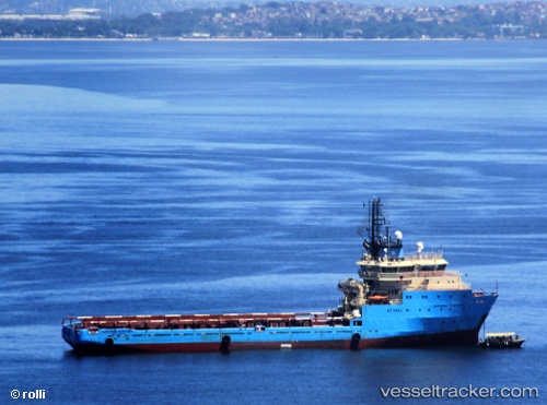
Maersk Ventura
Current StatusWhere is the vessel?
Maersk Ventura is currently in 29 nm SE of PORTO DO ACU, based on AIS data received less than 1h ago.
Latest AIS update:
Current position: 22.26697° S, 40.74855° W (29 nm SE of PORTO DO ACU)
Average speed (last 7 days): Loading…
Average speed (last 30 days): Loading…
Vessel profile: Maersk Ventura is a Offshore Tug Supply Ship with dimensions 18m x 89m.
This page combines live AIS, route history, probable destination signals, nearby traffic, and port activity for practical vessel monitoring.
The current position of vessel Maersk Ventura is -22.26697 lat / -40.74855 lng. Updated: 2026-04-06 05:43:23 UTCNearest reference points:
- Near PORTO DO ACU
- Near Fluminense FPSO
- 24 nm SE of Carapebus
Details:
Live Vessel Maersk Ventura Analytics (details, animations, etc.)
Recent AIS points (UTC):
2026-04-05 23:59:47 UTC · -21.86249, -41.01784 · SOG 0 kn · COG 60°2026-04-06 01:30:15 UTC · -21.86086, -41.01748 · SOG 3 kn · COG 324°
2026-04-06 03:41:08 UTC · -21.97333, -40.76167 · SOG 8 kn · COG -1°
2026-04-06 05:43:23 UTC · -22.26697, -40.74855 · SOG 8.9 kn · COG 180°