 vesseltracker.com
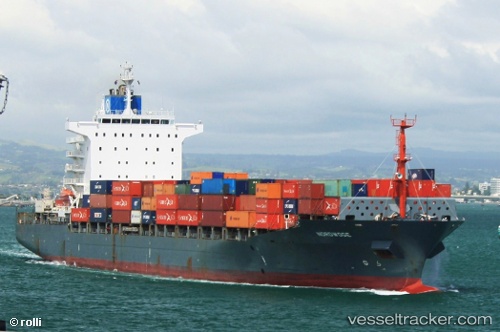
 MSC MONTSERRAT III
Current Status
Where is the vessel?
MSC MONTSERRAT III is currently in 37 nm S of Nudao, based on AIS data received less than 1h ago.
Latest AIS update:
Current position: 35.78379° N, 121.01301° E (37 nm S of Nudao)
Average speed (last 7 days): Loading…
Average speed (last 30 days): Loading…
Vessel profile: MSC MONTSERRAT III is a Container Ship with dimensions m x m.
This page combines live AIS, route history, probable destination signals, nearby traffic, and port activity for practical vessel monitoring.
The current position of vessel MSC MONTSERRAT III is 35.78379 lat / 121.01301 lng. Updated: 2026-04-21 01:46:25 UTCNearest reference points:
- 36 nm SE of Qingdao
- 43 nm SE of Qingdao
- 26 nm S of Nudao
Currently sailing under the flag of Liberia ![]()
Details:
Live Vessel MSC MONTSERRAT III Analytics (details, animations, etc.)
Recent AIS points (UTC):
2026-04-20 21:34:26 UTC · 35.78170, 121.00969 · SOG 0.1 kn · COG 86°2026-04-20 22:37:25 UTC · 35.78146, 121.00973 · SOG 0 kn · COG 92°
2026-04-21 00:26:05 UTC · 35.78184, 121.01002 · SOG 0.1 kn · COG 104°
2026-04-21 01:46:25 UTC · 35.78379, 121.01301 · SOG 0.4 kn · COG 239°