 vesseltracker.com
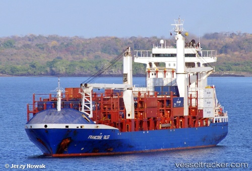
 EA BARU
Current Status
Where is the vessel?
EA BARU is currently in 31 nm N of Corazón de Jesús, based on AIS data received about 19h ago.
Latest AIS update:
Current position: 9.93213° N, 78.39705° W (31 nm N of Corazón de Jesús)
Average speed (last 7 days): Loading…
Average speed (last 30 days): Loading…
Vessel profile: EA BARU is a Container Ship with dimensions m x m.
This page combines live AIS, route history, probable destination signals, nearby traffic, and port activity for practical vessel monitoring.
The current position of vessel EA BARU is 9.93213 lat / -78.39705 lng. Updated: 2026-04-10 06:20:02 UTCNearest reference points:
- 62 nm NE of Playón Chico
- Near El Chorrillo
- Near Panama
Currently sailing under the flag of Liberia ![]()
Details:
Live Vessel EA BARU Analytics (details, animations, etc.)
Recent AIS points (UTC):
2026-04-10 00:48:30 UTC · 10.15703, -76.75207 · SOG 17.2 kn · COG -1°2026-04-10 00:48:30 UTC · 10.15703, -76.75207 · SOG 17.2 kn · COG -1°
2026-04-10 06:06:52 UTC · 9.94368, -78.33138 · SOG 17.9 kn · COG 260°
2026-04-10 06:20:02 UTC · 9.93213, -78.39705 · SOG 17.8 kn · COG 260°