 vesseltracker.com
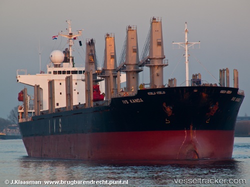
Queen Judi
Current StatusWhere is the vessel?
Queen Judi is currently in 120 nm NE of Gross Koris, based on AIS data received about 1h ago.
Latest AIS update:
Current position: 14.89833° N, 53.78500° E (120 nm NE of Gross Koris)
Average speed (last 7 days): Loading…
Average speed (last 30 days): Loading…
Vessel profile: Queen Judi is a Bulk Carrier with dimensions 28m x 177m.
This page combines live AIS, route history, probable destination signals, nearby traffic, and port activity for practical vessel monitoring.
The current position of vessel Queen Judi is 14.89833 lat / 53.78500 lng. Updated: 2026-04-12 17:59:16 UTCNearest reference points:
- 110 nm NE of Gross Koris
- 106 nm S of Port Raysut
- 103 nm S of Port Raysut
Details:
Live Vessel Queen Judi Analytics (details, animations, etc.)
Recent AIS points (UTC):
2026-04-12 11:42:10 UTC · 14.34104, 52.83337 · SOG 10.2 kn · COG 56°2026-04-12 13:53:19 UTC · 14.51167, 53.15833 · SOG 10 kn · COG -1°
2026-04-12 15:32:21 UTC · 14.66833, 53.40167 · SOG 10 kn · COG -1°
2026-04-12 17:59:16 UTC · 14.89833, 53.78500 · SOG 10 kn · COG -1°