 vesseltracker.com
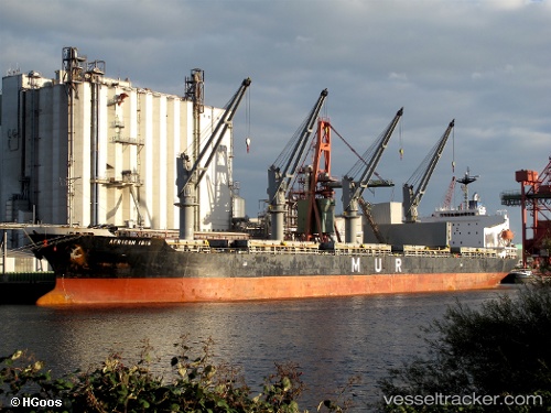
 ABDULLAH M
Current Status
Where is the vessel?
ABDULLAH M is currently in 13 nm SW of Kumburgaz, based on AIS data received less than 1h ago.
Latest AIS update:
Current position: 40.85203° N, 28.29366° E (13 nm SW of Kumburgaz)
Average speed (last 7 days): Loading…
Average speed (last 30 days): Loading…
Vessel profile: ABDULLAH M is a Bulk Carrier with dimensions m x m.
This page combines live AIS, route history, probable destination signals, nearby traffic, and port activity for practical vessel monitoring.
The current position of vessel ABDULLAH M is 40.85203 lat / 28.29366 lng. Updated: 2026-04-12 09:20:02 UTCNearest reference points:
- Near Gürpinar
- Near Ambarli
- Near Küçükçekmece
Currently sailing under the flag of Saint Kitts and Nevis ![]()
Details:
Live Vessel ABDULLAH M Analytics (details, animations, etc.)
Recent AIS points (UTC):
2026-04-10 03:29:18 UTC · 43.87147, 28.88468 · SOG 11.1 kn · COG 157°2026-04-12 06:30:53 UTC · 40.96662, 28.91496 · SOG 2.9 kn · COG 224°
2026-04-12 07:58:12 UTC · 40.88649, 28.62013 · SOG 11.4 kn · COG 261°
2026-04-12 09:20:02 UTC · 40.85203, 28.29366 · SOG 10.9 kn · COG 262°