 vesseltracker.com
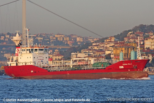
 TAEKYUNG RHEA
Current Status
Where is the vessel?
TAEKYUNG RHEA is currently in Near Nakéty, based on AIS data received about 1h ago.
Latest AIS update:
Current position: 21.51905° S, 166.08406° E (Near Nakéty)
Average speed (last 7 days): Loading…
Average speed (last 30 days): Loading…
Vessel profile: TAEKYUNG RHEA is a Chemical/Oil Products Tanker with dimensions m x m.
This page combines live AIS, route history, probable destination signals, nearby traffic, and port activity for practical vessel monitoring.
The current position of vessel TAEKYUNG RHEA is -21.51905 lat / 166.08406 lng. Updated: 2026-04-07 16:28:08 UTCNearest reference points:
- Near Noumea
- 39 nm E of Ouvea
Currently sailing under the flag of Korea (Republic of) ![]()
TAEKYUNG RHEA built in 2005 year
Deadweight:
3454 tDetails:
Live Vessel TAEKYUNG RHEA Analytics (details, animations, etc.)
Recent AIS points (UTC):
2026-04-07 09:40:04 UTC · -21.51968, 166.08455 · SOG 0 kn · COG 243°2026-04-07 11:22:09 UTC · -21.51870, 166.08252 · SOG 0.1 kn · COG 161°
2026-04-07 14:04:02 UTC · -21.51894, 166.08394 · SOG 0 kn · COG 210°
2026-04-07 16:28:08 UTC · -21.51905, 166.08406 · SOG 0 kn · COG 216°