 vesseltracker.com
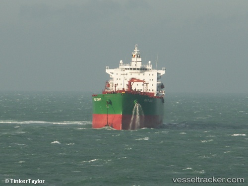
 DUBAI GREEN
Current Status
Where is the vessel?
DUBAI GREEN is currently in Near Pok Fu Lam, based on AIS data received about 1h ago.
Latest AIS update:
Current position: 22.15709° N, 114.13805° E (Near Pok Fu Lam)
Average speed (last 7 days): Loading…
Average speed (last 30 days): Loading…
Vessel profile: DUBAI GREEN is a Oil Products Tanker with dimensions m x m.
This page combines live AIS, route history, probable destination signals, nearby traffic, and port activity for practical vessel monitoring.
The current position of vessel DUBAI GREEN is 22.15709 lat / 114.13805 lng. Updated: 2026-04-17 21:23:55 UTCNearest reference points:
- Near Pok Fu Lam
- Near WAILINGDING ISLAND
- Near Tai Tam
Currently sailing under the flag of India ![]()
Details:
Live Vessel DUBAI GREEN Analytics (details, animations, etc.)
Recent AIS points (UTC):
2026-04-17 15:46:17 UTC · 22.32536, 114.10732 · SOG 0 kn · COG 87°2026-04-17 17:55:26 UTC · 22.32535, 114.10729 · SOG 0 kn · COG 87°
2026-04-17 19:58:30 UTC · 22.19321, 114.17896 · SOG 9.9 kn · COG 155°
2026-04-17 21:23:55 UTC · 22.15709, 114.13805 · SOG 0 kn · COG 290°