 vesseltracker.com
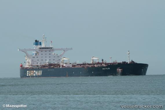
 NAUTILUS I
Current Status
Where is the vessel?
NAUTILUS I is currently in 90 nm SW of Koiingnaas, based on AIS data received about 1h ago.
Latest AIS update:
Current position: 31.12153° S, 15.89765° E (90 nm SW of Koiingnaas)
Average speed (last 7 days): Loading…
Average speed (last 30 days): Loading…
Vessel profile: NAUTILUS I is a Crude Oil Tanker with dimensions m x m.
This page combines live AIS, route history, probable destination signals, nearby traffic, and port activity for practical vessel monitoring.
The current position of vessel NAUTILUS I is -31.12153 lat / 15.89765 lng. Updated: 2026-03-27 03:49:52 UTCNearest reference points:
- 167 nm SW of Koiingnaas
- 154 nm W of Koiingnaas
- 161 nm W of Koiingnaas
Currently sailing under the flag of Liberia ![]()
Details:
Live Vessel NAUTILUS I Analytics (details, animations, etc.)
Recent AIS points (UTC):
2026-03-26 22:15:20 UTC · -29.94522, 15.50545 · SOG 12.7 kn · COG 165°2026-03-26 23:43:32 UTC · -30.24803, 15.60450 · SOG 13 kn · COG 164°
2026-03-27 01:50:21 UTC · -30.69742, 15.75273 · SOG 13.1 kn · COG 160°
2026-03-27 03:49:52 UTC · -31.12153, 15.89765 · SOG 13.4 kn · COG 164°