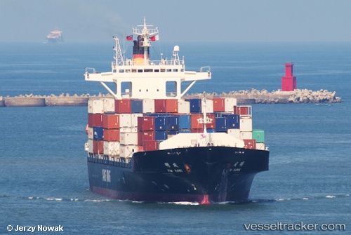
 Ym Hawk
Current Status
Where is the vessel?
Ym Hawk is currently in Near Chittagong, based on AIS data received about 14h ago.
Latest AIS update:
Current position: 22.29433° N, 91.79420° E (Near Chittagong)
Average speed (last 7 days): Loading…
Average speed (last 30 days): Loading…
Vessel profile: Ym Hawk is a Container Ship with dimensions 168m x 27m.
This page combines live AIS, route history, probable destination signals, nearby traffic, and port activity for practical vessel monitoring.
The current position of vessel Ym Hawk is 22.29433 lat / 91.79420 lng. Updated: 2026-05-23 22:46:02 UTCNearest reference points:
- Near Chittagong
- 12 nm NW of Chattogram
- 23 nm NW of Cox's Bazar
Currently sailing under the flag of Taiwan ![]()
Ym Hawk built in 2005 year
Deadweight:
19104 tDetails:
Live Vessel Ym Hawk Analytics (details, animations, etc.)
Recent AIS points (UTC):
2026-05-23 19:07:02 UTC · 22.29426, 91.79418 · SOG 0 kn · COG 192°2026-05-23 19:58:02 UTC · 22.29434, 91.79422 · SOG 0 kn · COG 192°
2026-05-23 21:49:02 UTC · 22.29434, 91.79424 · SOG 0 kn · COG 192°
2026-05-23 22:46:02 UTC · 22.29433, 91.79420 · SOG 0 kn · COG 192°