 vesseltracker.com
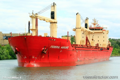
 KAISER
Current Status
Where is the vessel?
KAISER is currently in Near Offshore Fujairah, based on AIS data received about 2h ago.
Latest AIS update:
Current position: 25.37093° N, 56.75314° E (Near Offshore Fujairah)
Average speed (last 7 days): Loading…
Average speed (last 30 days): Loading…
Vessel profile: KAISER is a Bulk Carrier with dimensions m x m.
This page combines live AIS, route history, probable destination signals, nearby traffic, and port activity for practical vessel monitoring.
The current position of vessel KAISER is 25.37093 lat / 56.75314 lng. Updated: 2026-04-07 09:32:14 UTCNearest reference points:
- Near Offshore Fujairah
- Near KHORFAKKAN
- Near Fujairah
Currently sailing under the flag of Saint Kitts and Nevis ![]()
Details:
Live Vessel KAISER Analytics (details, animations, etc.)
Recent AIS points (UTC):
2026-04-07 00:20:50 UTC · 25.04626, 57.30820 · SOG 43.5 kn · COG -1°2026-04-07 00:20:50 UTC · 25.04626, 57.30820 · SOG 43.5 kn · COG -1°
2026-04-07 00:20:50 UTC · 25.04626, 57.30820 · SOG 43.5 kn · COG -1°
2026-04-07 09:32:14 UTC · 25.37093, 56.75314 · SOG 40.8 kn · COG 263°