 vesseltracker.com
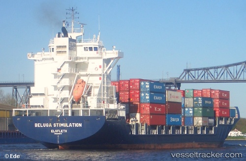
Vessel Martha A IMO: 9299484, MMSI: 271044070 Container Ship
UTC, 26.91752, 35.18534, course: 329, speed: 11.7
UTC, 27.19598, 35.00097, course: 325, speed: 12
2026-02-25 18:09:36 UTC, 27.54541, 34.74693, course: 332, speed: 11.5
Live AIS position:
UTC. 31 nm SE of Sharm ash Shaykh),
updated 2026-02-25 18:09:36 UTC.
Find the position of the vessel Martha A on the map. The latter are known coordinates and path.
marine traffic ship tracker show on live map
The current position of vessel Martha A is 27.54541 lat / 34.74693 lng. Updated: 2026-02-25 18:09:36 UTCCurrently sailing under the flag of Turkey
Martha A built in 2005 year
Deadweight:
33796 tDetails:
Last coordinates of the vessel:
UTC, 26.53952, 35.44548, course: 332, speed: 11.7UTC, 26.91752, 35.18534, course: 329, speed: 11.7
UTC, 27.19598, 35.00097, course: 325, speed: 12
2026-02-25 18:09:36 UTC, 27.54541, 34.74693, course: 332, speed: 11.5